
72 cols from the Atlantic to the Mediterranean — each with its real km-by-km gradient profile, live road status, summit weather, food and water points along the climb, and a free GPX download.
Interactive map, difficulty ranking, multi-col loop planner and Strava-powered logbook
are available on the full atlas (interface in French).
The legends
HC
Col du Tourmalet
2115 m
19.1 km · 7.4% from Luz-Saint-Sauveur (west)
View the climb →
HC
Col d'Aubisque
1709 m
16.6 km · 7.1% from Laruns (west)
View the climb →
Cat. 1
Col de Peyresourde
1569 m
13.8 km · 6.8% from Bagnères-de-Luchon
View the climb →
Cat. 1
Col d'Aspin
1490 m
12.6 km · 6.2% from Arreau
View the climb →
HC
Col de Portet
2215 m
16.3 km · 8.5% from Saint-Lary-Soulan
View the climb →
HC
Port d'Envalira
2408 m
26.7 km · 5% from Andorre-la-Vieille (via Soldeu)
View the climb →
All 72 climbs, by massif
Basque Country
- Col de Saint-Ignace 169 m
- Col d'Ibardin 317 m
- Col de Jaizkibel 455 m
- Alto de Agiña 550 m
- Col d'Osquich 495 m
- Col d'Aphanize 1055 m
- Col Bagargui (Iraty) 1327 m
- Col d'Ispéguy 672 m
- Col Burdincurutcheta 1135 m
- Col du Soudet 1540 m
- Port de Larrau 1573 m
- Mont Artzamendi 926 m
Béarn
- Col de Marie-Blanque 1035 m
- Col du Porteigt 875 m
- Plateau de Castet 924 m
- La Pierre Saint-Martin 1760 m
- Col du Somport 1632 m
- Col du Pourtalet 1794 m
- Col d'Aubisque 1709 m
- Col d'Ichère 674 m
Bigorre
- Col du Soulor 1474 m
- Col de Spandelles 1378 m
- Col du Tourmalet 2115 m
- Hautacam 1520 m
- Luz Ardiden 1715 m
- Col des Tentes 2208 m
- Col d'Aspin 1490 m
- Hourquette d'Ancizan 1564 m
- Col de Beyrède 1417 m
- Col des Palomières 810 m
- Col de Coupe 731 m
- Col de Portet 2215 m
- Pla d'Adet 1680 m
- Piau-Engaly 1860 m
- Lac de Cap-de-Long 2161 m
- Col d'Azet (Val Louron) 1580 m
- Col des Bordères 1156 m
- Col de Couraduque 1367 m
- Cauterets-Cambasque 1359 m
- Cirque de Troumouse 2087 m
Luchon & Comminges
- Col de Peyresourde 1569 m
- Peyragudes 1580 m
- Superbagnères 1806 m
- Hospice de France 1385 m
- Port de Balès 1755 m
- Col du Portillon 1293 m
- Col de Menté 1349 m
- Col de Portet-d'Aspet 1069 m
- Col des Ares 797 m
Ariège
- Col de la Core 1395 m
- Col de Latrape 1110 m
- Guzet-Neige 1415 m
- Col d'Agnes 1570 m
- Port de Lers 1517 m
- Mur de Péguère 1375 m
- Col de Port 1249 m
- Plateau de Beille 1780 m
- Ax 3 Domaines (Bonascre) 1372 m
- Col du Chioula 1431 m
- Port de Pailhères 2001 m
- Col de Puymorens 1920 m
- Col de la Crouzette 1241 m
- Col des Marrous 990 m
- Prat d'Albis 1205 m
- Col de Montségur 1059 m
- Col du Pradel 1673 m
Catalonia & Aude
- Col de Jau 1506 m
- Col de Mantet 1761 m
- Col de l'Ouillat 936 m
- Força Real 507 m
Andorra
- Port d'Envalira 2408 m
- Ordino-Arcalís 2155 m
Guides
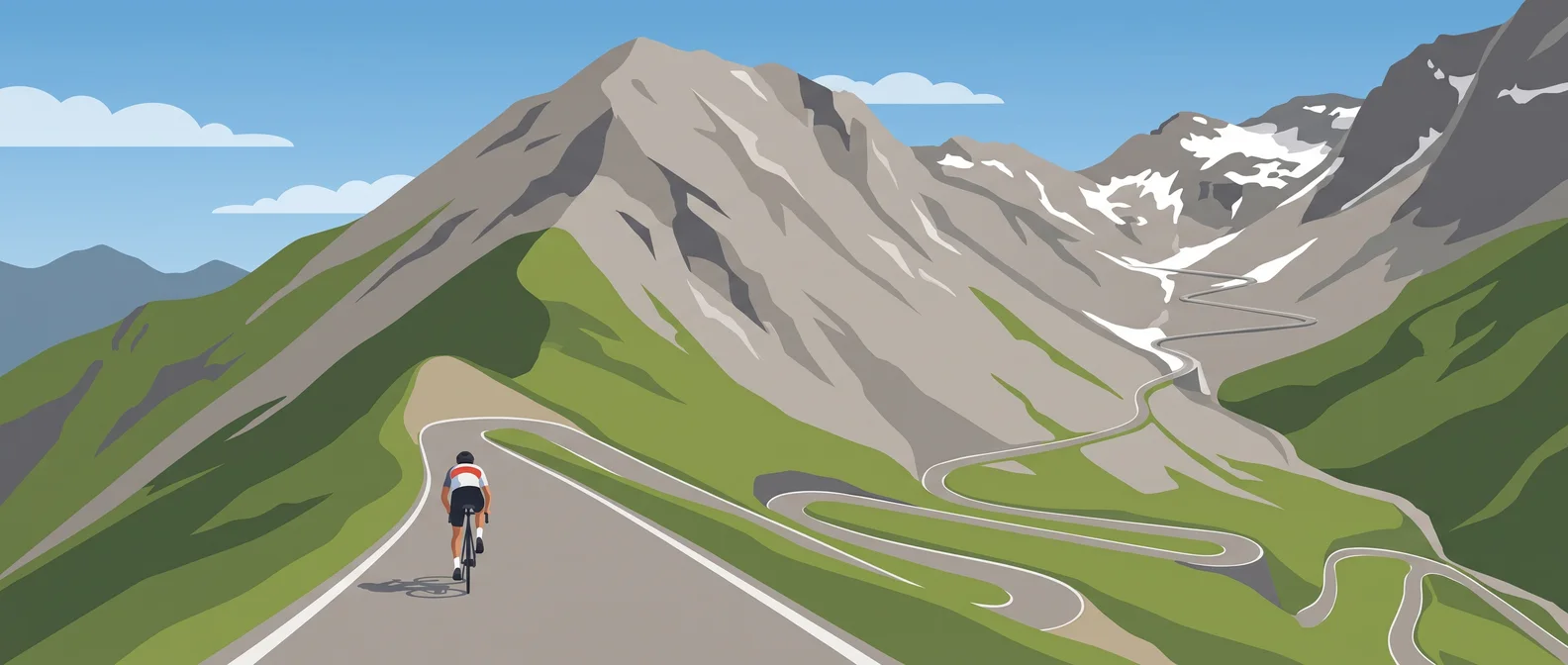 Preparing your first Tourmalet by bike
 Which Pyrenean col should you start with?
 When do the Pyrenean cols open? The snow-clearing calendar
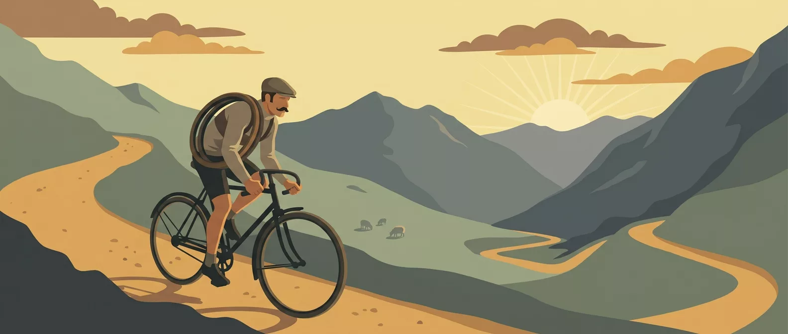 Luchon–Bayonne 1910: the stage that invented high-mountain racing
 Cycling cols of the Basque Country: the complete guide
 Cycling cols of the Béarn: the complete guide
 Cycling cols of the Bigorre (Hautes-Pyrénées): the complete guide
 Cycling cols of the Luchonnais and Comminges: the complete guide
 Cycling cols of the Ariège: the complete guide
 Cycling cols of Catalonia and the Pyrénées-Orientales: the complete guide
 Cycling cols of Andorra: the complete guide